Maps of Rainbow Ridge Region
Rainbow Ridge Identified as “Intact High Conservation Value Area” in Northern California
While landowner Humboldt Redwood Company (HRC) contends there is no special conservation values to their holdings on Rainbow Ridge, the data speaks otherwise, appearing as the furthest west blue block in California and in the map below

Wildest Land Linking Protected Areas
"New research reveals key corridors that allow wildlife to move between protected areas of the U.S.--and explains why these places must be protected further... With increasing development and ongoing climate change forcing plants and animals to shift their habitat, maintaining a connected network of these lands will be an even bigger priority, the study said."
-Max Greenberg of The Wilderness Society
This map illustrates the "wildest" and least-developed corridors (in blue) between national parks and other protected areas (black). The Lost Coast: an area of HIGH corridor value surrounding protected areas.
LOCAL MAPS
Distribution of Old Growth: Then & Now
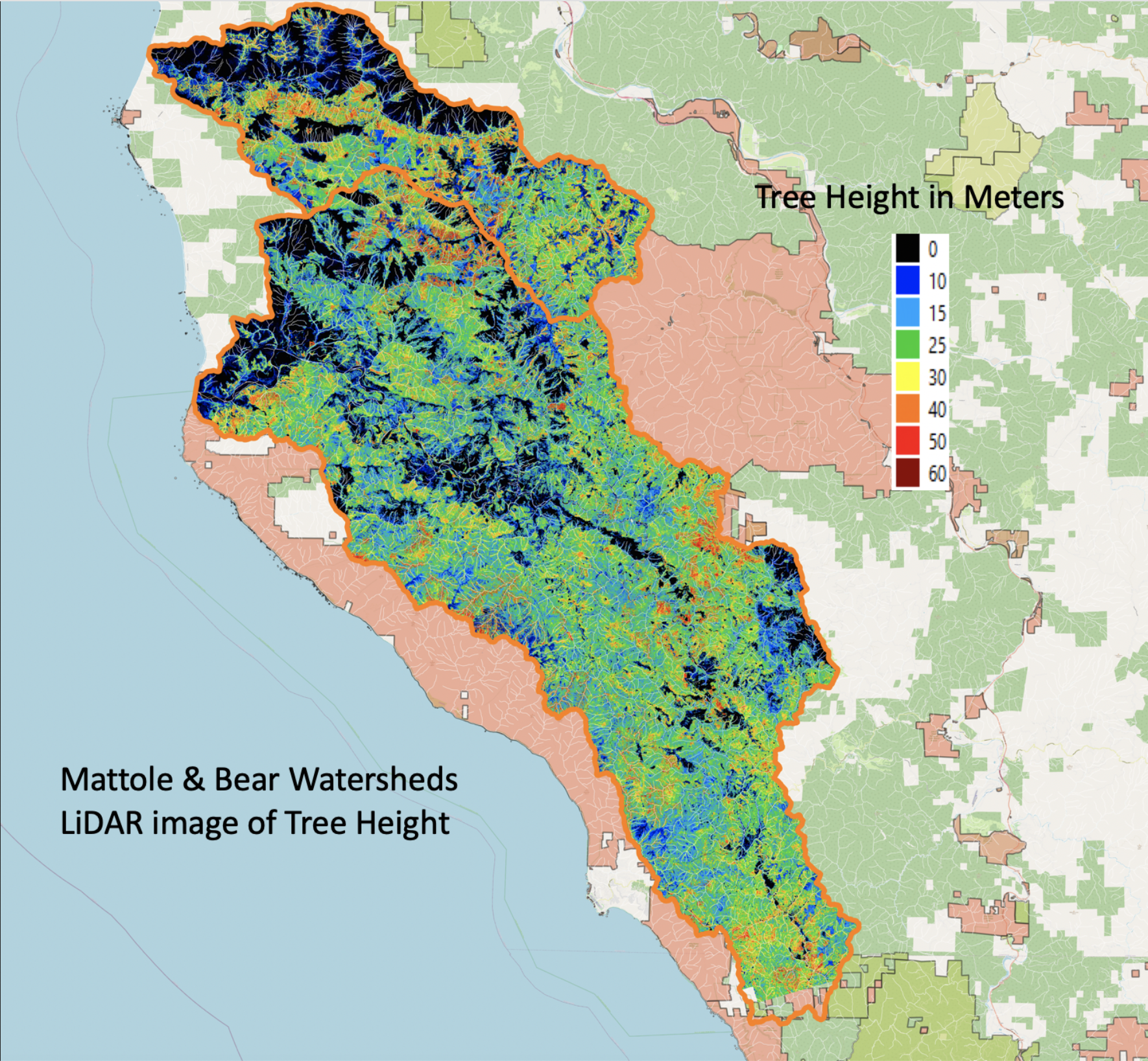
The Mattole Valley saw a rapid elimination of old growth forests in the period 1947-1988 and the few that remain have been fought over ever since. The forests of Rainbow Ridge are the largest block of primary, old growth forests that remain in private hands and open to exploitation.

Age Class Map
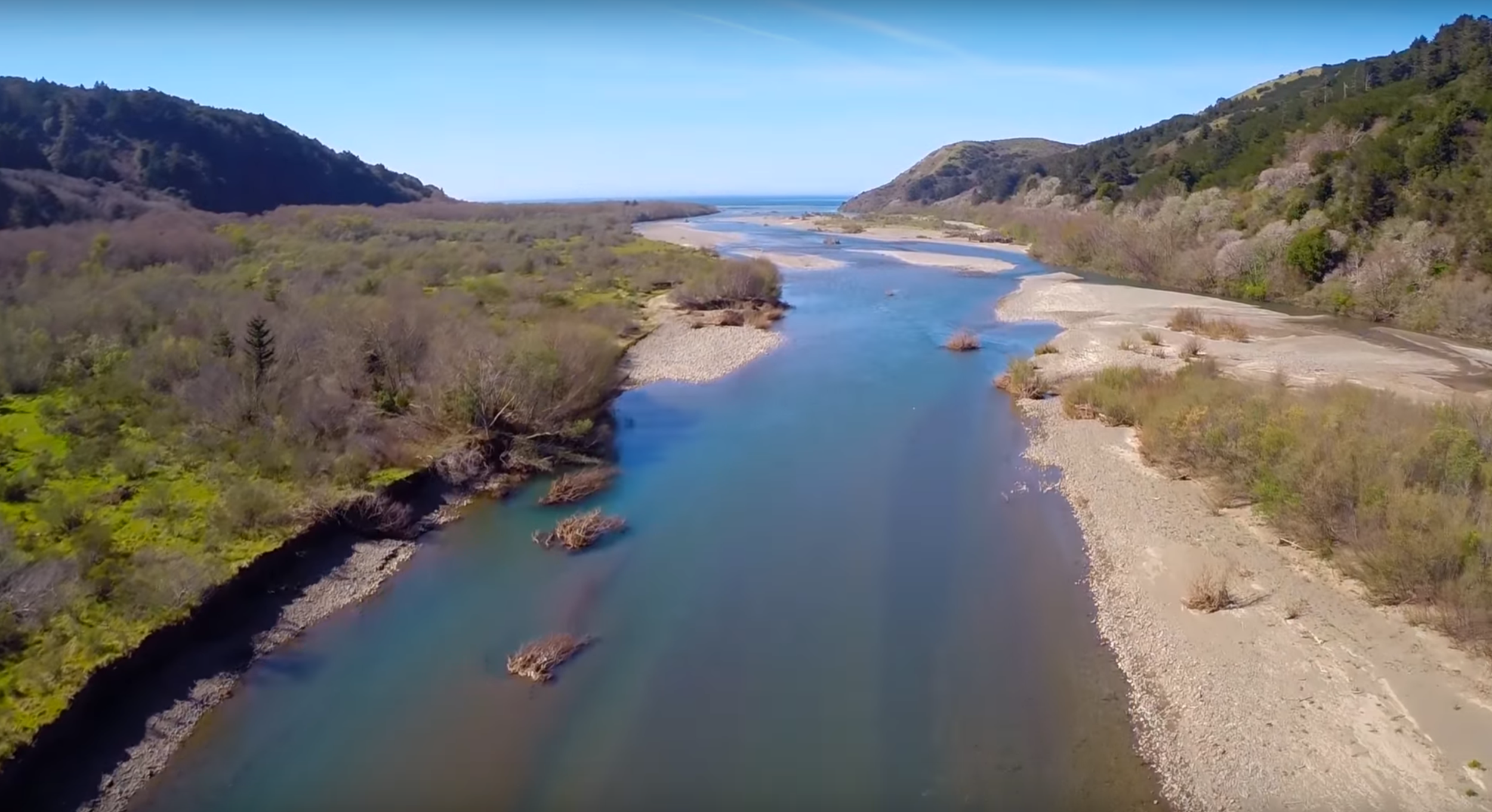
Lower North Fork of Mattole River